The Geographic Information System (GIS) Section supports City of Worcester departments and divisions by assisting users, consulting on projects and providing access to GIS data.
The public has access to GIS maps and data in a variety of ways listed below and summarized in the fact sheet, GIS/Mapping Resources for the Public.
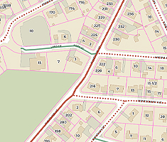
This new interactive map viewer provides residents with access to City property data and records plus many other City map layers. It replaces the Worcester Property Viewer application.
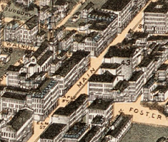
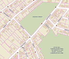
This storymap explores Worcester's rich history over the past 300 years using historical maps of the City as a guide.
Please support City efforts by parking your vehicle in conformance with the Winter Parking Ban. Vehicles in violation will be ticketed and towed at owner's expense.

Informing Worcester is the City's open data portal where all interested parties can obtain public information at no cost. Explore, visualize and download City of Worcester, MA, data!
GIS Datasets may be downloaded directly from the City's comprehensive open data site, Informing Worcester, where public City information (including non-geospatial data) is available at no cost.
GIS data not available through the City's open data sites may be requested via our Digital Data Request Form. The form details available data layers, deliverable formats and associated costs. Please fill it out completely and mail with your check to the following address:
GIS Data Request
City of Worcester
Department of Innovation & Technology
1 Officer Manny Familia Way, Building A
Worcester, MA 01605
Once we receive your paid request and process the data, instructions will be sent to you explaining how to download and access the file.
Contact us at gis@worcesterma.gov or 508-799-1272 with any questions.
The Worcester Atlas is a new interactive map viewer developed by the City that replaces the Worcester Property Viewer application. You can use the new viewer to search for and access property information, including Vision property records. In addition to property data, many other map layers are also available for viewing in Worcester Atlas, including layers organized in the following categories: Environmental, Planning and Zoning Areas, Transportation, and Administrative Boundaries and Elections. Learn more about this new application and how to get started using it by reading the Introducing Worcester Atlas Storymap.


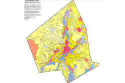
Combined Map of District School Committee and City Council Lines:
Note: 2020 Worcester City Council District Lines are available at Find My Councilor. Additionally, please use our School Committee Districts app for additional information.
Disclaimer: The information represented on these maps was provided to the Department of Innovation & Technology by the City Departments/Divisions responsible for producing and maintaining such data (Assessing, Election Commission, etc). This information is assumed to be accurate but may not reflect the most current information or may contain errors. Official records may be obtained by the Department/Division responsible for the information. No representations are made as to property boundary lines or other matters relating to the legal title or ownership rights of the properties shown herein. The City of Worcester makes no warranty, representation or guaranty of any kind as to the content within these pages and assumes no liability for the use of the information depicted herein.
Geographic Information System
Department of Innovation & Technology
Worcester Technical High School
1 Officer Manny Familia Way, Building A
Worcester, MA 01605
Phone: 508-799-1272
Fax: 508-799-1270
Email Us
Office Hours:
Monday - Friday
8 a.m. - 5 p.m.


